You signed in with another tab or window. Reload to refresh your session.You signed out in another tab or window. Reload to refresh your session.You switched accounts on another tab or window. Reload to refresh your session.Dismiss alert
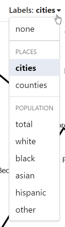
To give users a reference of the geography on the map, we want to offer the ability to display names of cities on the map. We already have labels for the population of geounits on the map, so to prevent confusing or difficult cartography, we should make the user pick between either place names or population labels. This can be seen in the prototype as well:
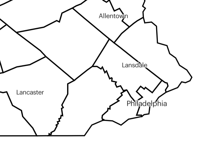
We want to show cities of different sizes at different zoom levels because there are too many to show on the map at once.
E.g. We only show large cities at zoomed out levels:
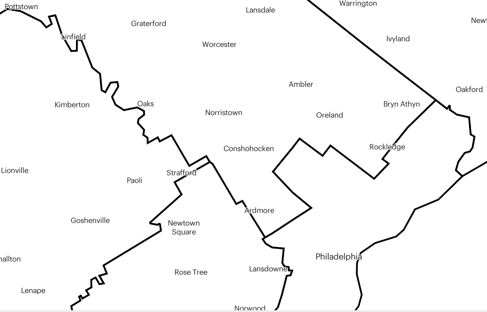
But we show smaller cities when zoomed in further:
This script demonstrates how the prototype generated vector tiles for cities of different sizes.
Acceptance criteria:
City name labels added to label selector
Categorical grouping of label selections added to dropdown (e.g. Places and Population from screenshot above)
Label selector is single select (only one layer can be selected at once)
Only the selected label layer shows on the map at once
The text was updated successfully, but these errors were encountered:
tgilcrest
changed the title
County and City Name Labels
City Name Labels
Jul 22, 2020
To give users a reference of the geography on the map, we want to offer the ability to display names of cities on the map. We already have labels for the population of geounits on the map, so to prevent confusing or difficult cartography, we should make the user pick between either place names or population labels. This can be seen in the prototype as well:
We want to show cities of different sizes at different zoom levels because there are too many to show on the map at once.
E.g. We only show large cities at zoomed out levels:
But we show smaller cities when zoomed in further:
This script demonstrates how the prototype generated vector tiles for cities of different sizes.
Acceptance criteria:
PlacesandPopulationfrom screenshot above)The text was updated successfully, but these errors were encountered: