Basemap switcher #111
Labels
Comments
Merged
|
I just opened a pull request that adds a basic basemap to the application #401. That will be suitable for launch. In terms of adding a basemap switcher, I think we should spend some time thinking through our needs here. Getting the aerial imagery view to work well might be a big challenge, and I think it would be worth confirming its value. Instead of having 2 or 3 basemaps to choose from, we may want to explore an option where the user can choose between aspects of the basemap. For example: toggle street labels, toggle city labels, toggle hillshade. |
Sign up for free
to join this conversation on GitHub.
Already have an account?
Sign in to comment
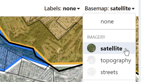
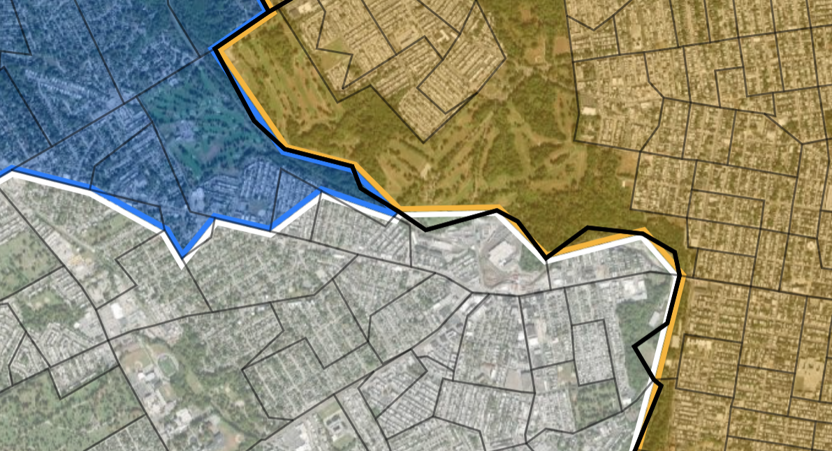
We want to add a basemap switcher to the app to give users the ability to view basemaps underneath their maps. This task involves adding a basemap switcher and showing basemaps underneath the geounit lines, population labels, and district shapes. Note that because we won't have a transparency slider, we'll also have to modify how the districts appear (make them transparent) when a basemap is present. We'll use Mapbox basemaps for this. Links to be provided.
AC:
Basemap selector (don't worry about creating the "Imagery" section for now):
Transparent districts:
The text was updated successfully, but these errors were encountered: